
How Streets Evolved Into a City Exploration App
A look at how Streets grew from GPS route tracking into visited streets, city progress, Areas, Random Route, goals, and sharing.
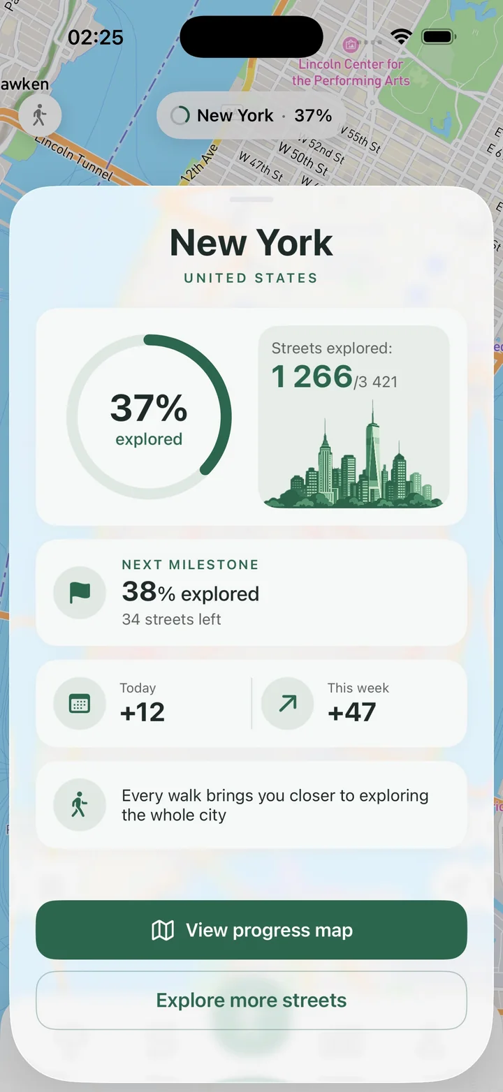
Streets did not become a city exploration app all at once. The app has grown through updates that gradually connected GPS route tracking, walking stats, visited streets, route planning, and city progress into one loop.
That history matters because it explains what Streets is trying to do: make everyday movement feel like exploration.
The foundation: route tracking and walking stats
The early versions focused on core route tracking: GPS accuracy, step counting, calories, route planning, route history, and basic stability.
Those pieces are essential. Without a reliable route, there is no useful progress map. A city exploration app still needs to be a good tracker first.
The shift toward city progress
Later updates added city progress, street matching, total stats, and completion percentage. This changed the meaning of a walk.
Instead of only saving where you went, Streets could show how that route changed your map of the city.
Planning, goals, and Random Route
Route planning and Random Route made the app useful before a walk starts. You can plan a route through new streets, generate a walk by distance or time, or use goals to give the route a purpose.
That makes Streets more than a passive tracker. It becomes a tool for deciding where to go next.
Areas made progress more local
Custom Areas are important because whole-city progress can feel too large. Areas let you create a smaller challenge: a neighborhood, district, or personal map zone.
That makes exploration easier to finish and easier to share.
The current direction: faster, smoother, more reliable
Recent updates improved active route saving, route history performance, visited street loading, skeleton states, and heavy-user reliability.
Those details matter because city exploration creates a lot of data: route history, progress, streets left to walk, Areas, and stats. The app has to stay smooth as that history grows.
You can follow the full Streets version history to see how the app keeps expanding around GPS walking, visited streets, route planning, and city progress.