
How to Share Walking Routes and City Progress
Share route cards, neighborhood progress, and PDF exports to keep a record of the streets and areas you have explored.
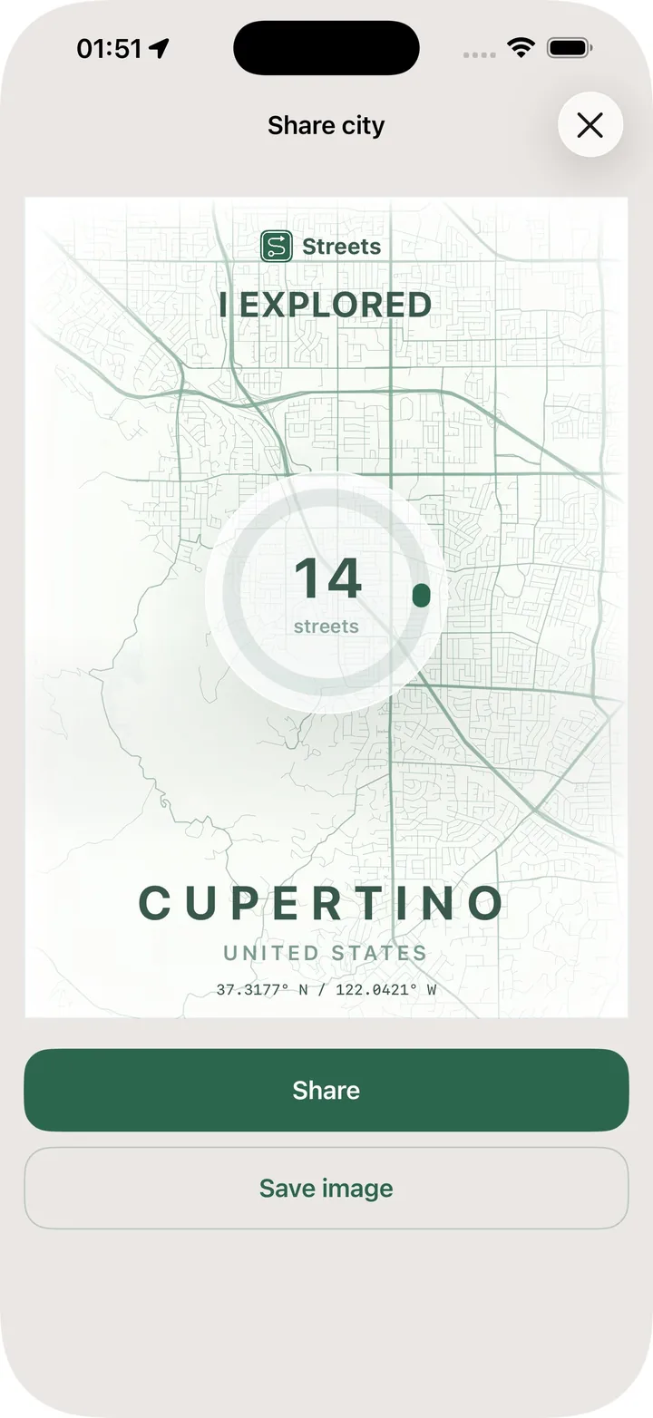
Walking progress is personal, but sometimes it is worth sharing. A long route, a completed neighborhood, or a list of visited streets can become a record of what you explored.
Sharing also makes progress feel more concrete. It turns a route from something hidden in an app into something you can save, send, or look back on.
Share a route when the walk has a story
Not every walk needs to be shared. But some routes do have a story: a new neighborhood, a long distance, a route with many new streets, or a loop you are proud of.
A shareable route card should make the result clear without requiring someone else to open the app.
Share Area progress for focused challenges
Area progress is often more interesting than whole-city progress because it has boundaries. If you are working through one neighborhood, a progress card can show that challenge clearly.
This is useful for personal motivation, friendly challenges, or simply keeping a visual record of a place you explored.
Export visited streets for a permanent record
PDF export is helpful when you want a document instead of a screenshot. A visited-streets export can preserve progress, make a challenge easier to review, or serve as a personal archive.
Streets can include branding and a QR code in exports, which makes the document easier to share.
Use sharing as motivation, not pressure
The best reason to share is not comparison. It is reflection. Seeing a route or Area progress as a finished card can make the walk feel more meaningful.
Use Export and Share in Streets when you want to keep or show the progress your walks create.