
What Is a Walking Progress Map?
A walking progress map shows the streets and routes you have explored, making every walk part of a larger city record.
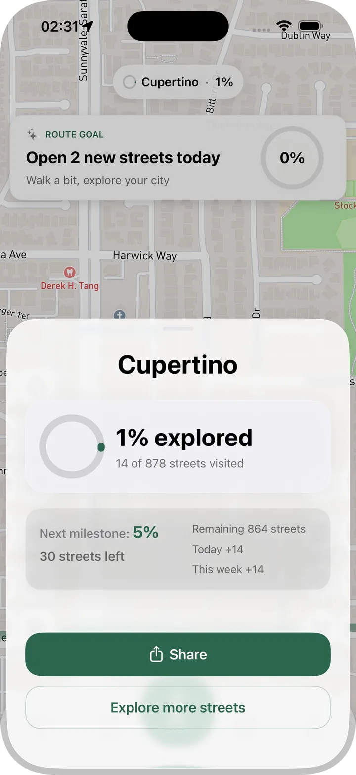
A walking progress map is a personal map of where you have walked. It shows the streets, routes, and areas you have explored over time.
Unlike a normal map, it is not mainly about finding the fastest route. It is about seeing your relationship with the city: the places you know well, the gaps you keep missing, and the routes that slowly connect everything together.
It turns walking into visible progress
Many walks are easy to forget. You go outside, move for a while, and return home. A progress map gives that walk a visible result.
When a new street appears in your history, the walk feels more concrete. You can see that you explored something new.
It helps you choose better routes
A progress map is useful before the next walk too. If you can see streets you have already visited, you can choose a route that adds something new.
This is especially helpful in familiar neighborhoods. The map reveals small gaps that are easy to miss when you walk from memory.
It supports different kinds of walkers
Some people use a walking progress map to complete neighborhoods. Others use it casually to avoid repetition. Some simply enjoy seeing a record of where they have been.
Streets is flexible enough for all three. You can treat city progress as a goal or as a quiet background reward.
It pairs well with route stats
Distance, time, steps, and calories explain the effort of a walk. The progress map explains what the walk added to your city.
Together, they make a more complete record. You know both how far you walked and which streets became part of your map.
Start with one neighborhood
If you are new to progress mapping, start close to home. Track a few walks, then look for unvisited streets nearby. The first visible gaps are usually the easiest to fill.
As the map grows, you can expand outward naturally. Streets keeps the record so every walk can build on the last one.