
Why Walking Route History Matters
Route history helps you remember walks, review stats, see newly discovered streets, edit route ends, and plan better future routes.
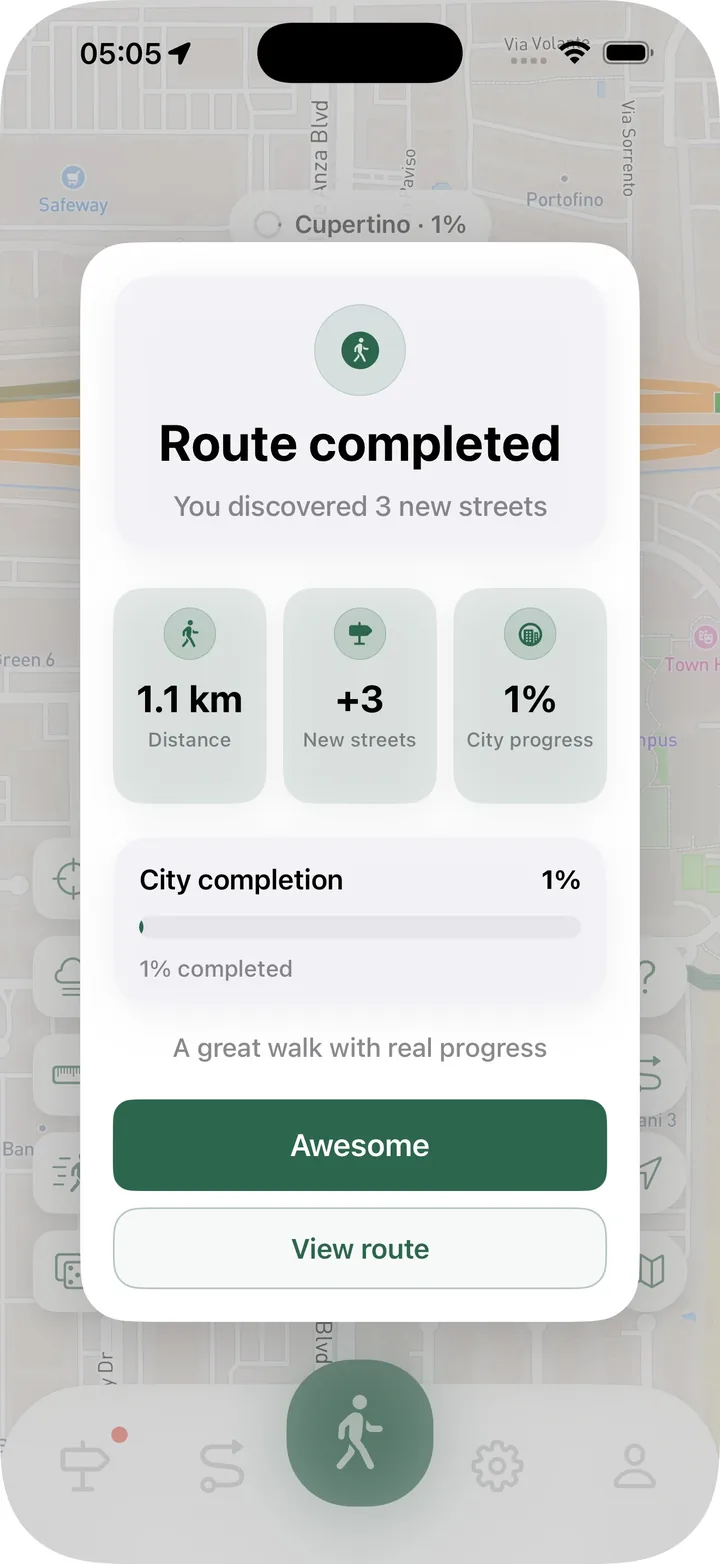
Walking route history is more than a list of past walks. It is the record that helps you understand where you actually went, what you discovered, and what kind of routes you tend to repeat.
For a city exploration app, history is especially important because every route can add streets to your personal map.
A route map tells the real story
Memory is fuzzy after a walk. You may remember the general area, but not the exact streets or turns. A saved route map makes the walk clear.
That is useful when you want to repeat a good route, avoid repeating a boring one, or understand how a detour changed the walk.
Stats make routes comparable
Distance, time, steps, and calories help compare walks. A route that felt long may not be the longest. A route that felt easy may have covered more new streets than expected.
When stats are saved with the map, each route becomes easier to understand later.
New streets make history more motivating
In Streets, route history can show how many new streets a walk unlocked and which streets they were. That turns a completed route into visible city progress.
This is different from generic workout history. The route is not only an activity. It is a piece of your city map.
Notes help future you
A route note can capture context: why you chose the walk, what felt good, where construction blocked the route, or which area you want to revisit.
Notes are small, but they make route history more personal.
Editing keeps history clean
Sometimes tracking starts too early or continues after the walk is done. Route editing helps clean up the beginning or end so the saved route better matches the real activity.
That keeps your route history useful and your city progress more accurate.
Use Route History in Streets when you want every walk to become something you can review, understand, and build on.