
Walking Stats That Actually Matter
Time, distance, steps, calories, and route history can help you understand your walks without overcomplicating them.
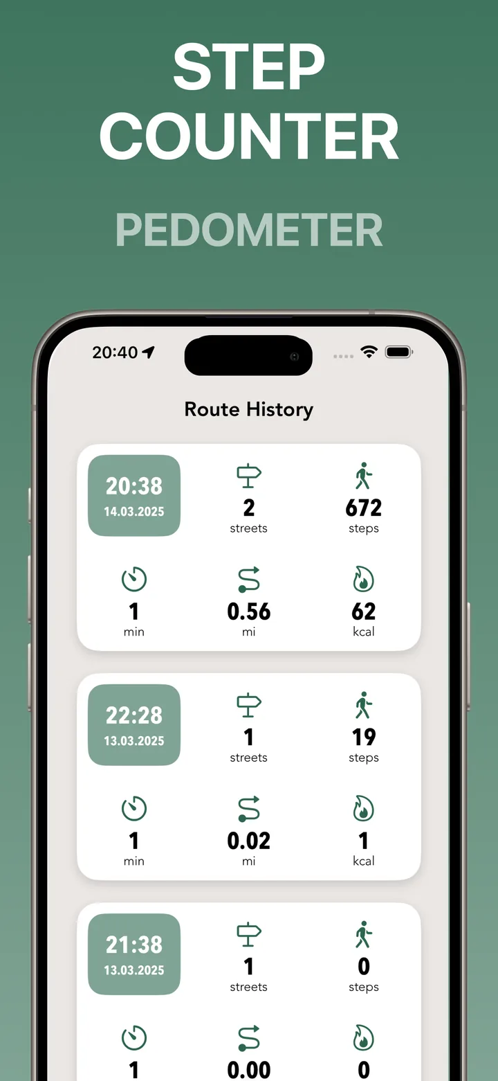
Walking stats are useful when they answer simple questions. How far did I walk? How long did it take? How many steps did I take? What route did I cover?
You don’t need a complicated dashboard to make walking more meaningful. A few clear stats can help you compare routes, build a habit, and understand your city progress.
Distance shows the shape of effort
Distance helps you understand the size of a walk. A short route around the block feels different from a long route across town, and distance gives you a clear way to compare them.
In a city, distance is also tied to route choice. Two walks can be the same length but feel very different depending on traffic, crossings, parks, and streets.
Time helps you plan real walks
Time is often the most practical walking stat. If you know a route takes 25 minutes, you can fit it into a lunch break or use it as a reliable evening walk.
Tracking time also helps you notice which routes are easy to repeat. A walk that fits your day is more likely to become a habit.
Steps are a simple daily signal
Steps are not the whole story, but they are easy to understand. They give you a quick signal that you moved more today than yesterday or that a route was more active than expected.
The step counter and walking stats feature in Streets keeps these numbers close to the route, so stats and map context stay together.
Calories are only an estimate
Calories can be useful as a rough indicator, but they should not be treated as exact. Walking is affected by pace, terrain, body size, and many other factors.
Use calories as one small part of the picture. For exploration, route and progress are often more motivating than a single number.
Route history gives stats meaning
Stats become more useful when connected to the map. A 40-minute walk is more memorable when you can see the exact streets you covered and how they changed your progress.
That is why Streets combines walking stats with route tracking and visited streets. The numbers tell you how the walk went; the map shows where it took you.