
Map and Route Customization
Streets lets you tune the walking map so routes and progress are comfortable to read.
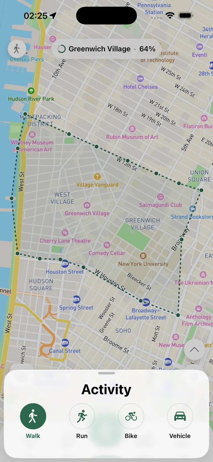
What this feature does
Map customization gives you control over how Streets looks while you track and review routes. You can change route color, adjust route line thickness, switch map styles such as standard, outdoor, satellite, dark, or light, and choose miles or kilometers for distance units.
Real Streets capabilities
- Route line color customization.
- Route line thickness customization.
- Standard map style.
- Outdoor map style.
- Satellite map style.
- Dark and light map styles.
- Miles or kilometers for distance units.
How it works
Open settings
Choose the route and map options that fit how you walk.
Adjust the map
Change route color, line thickness, map style, and units.
Track comfortably
Use a map view that stays readable during planning, tracking, and review.
Practical ways to use it
- Use satellite view to understand parks and landmarks.
- Switch to dark mode for evening route review.
- Make route lines thicker for better visibility.
- Use miles or kilometers depending on your preference.
FAQ
Can I change the route color?
Yes. Streets lets you choose the color of route lines.
Does Streets support different map styles?
Yes. Streets supports several map styles, including outdoor, satellite, dark, and light views.
Can I use miles or kilometers?
Yes. Streets supports distance unit preferences.
Related guides
Walk every street with Streets
Find what is left, choose a new route, and move your city closer to 100%.