Map Tools for Urban Walks
Streets includes practical map tools for planning and reviewing city walks.
What this feature does
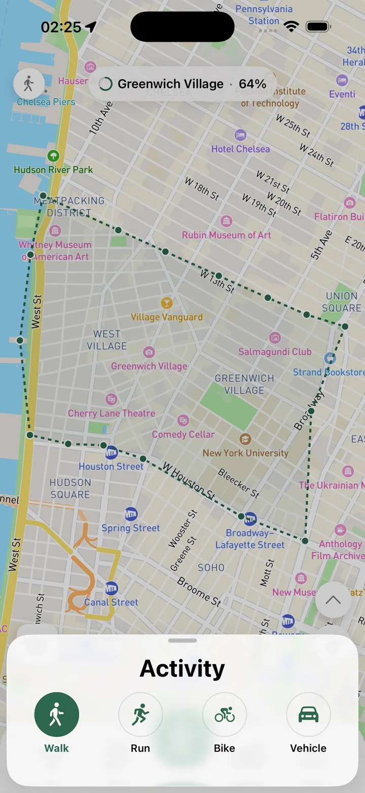
Map tools help you use Streets as a working city map. You can measure distances with a map ruler, save favorite places as pins, name and describe pins, edit or delete them, follow your current location, and choose whether old route lines should appear on the map.
Real Streets capabilities
- Map ruler for measuring distance between points.
- Favorite places and pins.
- Pin names and notes.
- Edit saved pins.
- Delete pins you no longer need.
- Follow user location on the map.
- Show previous routes on the map.
- Hide previous routes when you want a cleaner map.
How it works
Use the map
Open the Streets map before, during, or after a route.
Add context
Measure distances, save pins, or show previous routes for reference.
Keep it clean
Hide old routes or delete pins when the map needs less clutter.
Practical ways to use it
- Measure how far a possible detour might be.
- Save a favorite cafe, park, or meeting point.
- Follow your current location during a walk.
- Hide old routes when planning a new one.
FAQ
Can Streets measure distances on the map?
Yes. Streets includes a map ruler for measuring distance between points.
Can I save favorite places?
Yes. Streets supports pins with names and notes.
Can I hide previous routes?
Yes. Streets can show or hide past routes on the map.
Related guides
Walk every street with Streets
Find what is left, choose a new route, and move your city closer to 100%.